There’s a New 750-Mile Bicycle Route in New York. Take a Look.

By Jane Margolies and Wm. Ferguson / The New York Times
Photographs and Video by Johnny Milano
November 5, 2021
Last December, the Empire State Trail — a sprawling, 750-mile cyclist and pedestrian route that connects Buffalo to Albany and New York City to the Canadian border, forming what looks like a sideways T — opened to the public. Considering the pandemic bike boom, the timing was perfect.
About 400 miles of greenways, repurposed rail lines and bike paths already existed in New York. So, when the $200 million project was announced in 2017, the state rushed to fill in the gaps between them.
Where new bike trails were not possible, blue-and-yellow signs were installed on roads signaling the way, and some guardrails were added to protect cyclists from vehicular traffic.
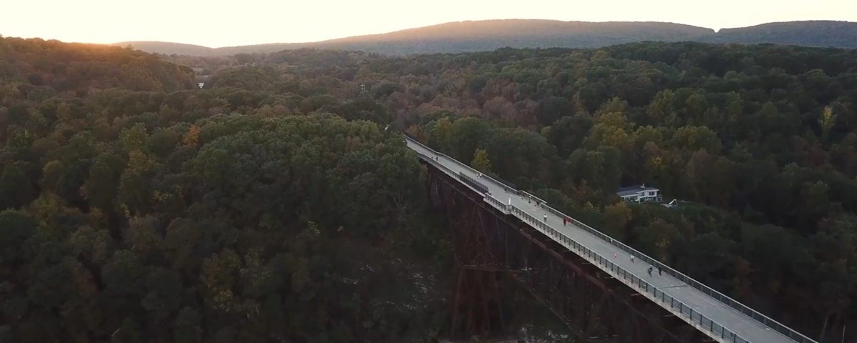
The result — a combination of protected paths, city streets, highway shoulders and country roads that pass by small towns and cities — offers views of wetlands, waterways, grasslands and mountain ranges. It is a showcase for New York State’s history and natural beauty.
Recently, two reporters set out on bikes to experience the trail for themselves. One traveled from Buffalo to Albany, and the other, from New York City to the Canadian border.
Here are the highlights.


